Development version. Some content, features or translations may be incomplete.
Go back
The So-called Acropolis of Circeo

The So-called Acropolis of Circeo

Period
Early 4th century BC
Municipality
San Felice Circeo
Coordinates
41.2300, 13.0828
The place

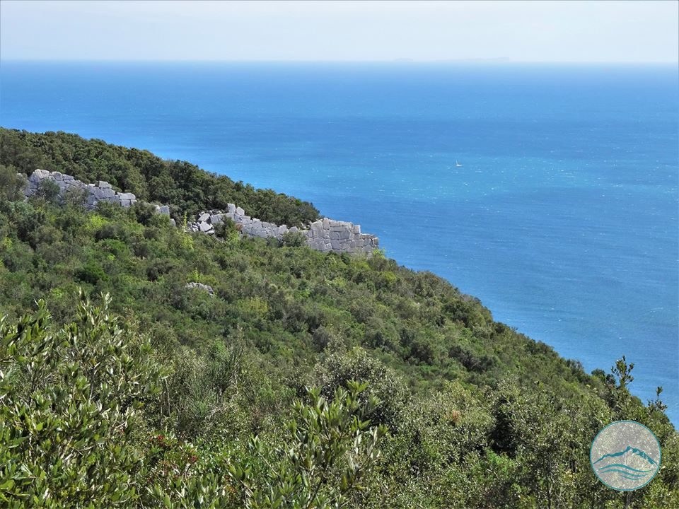
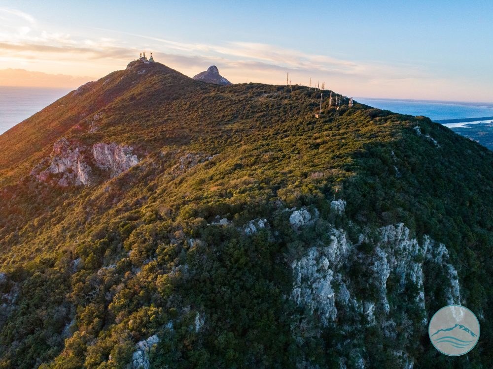
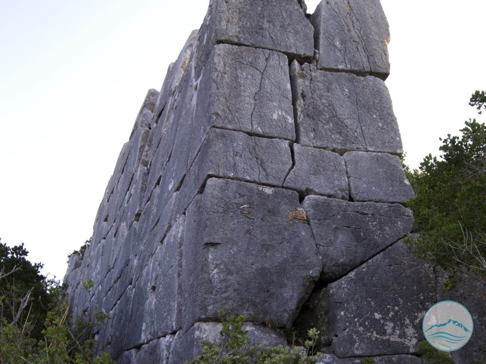
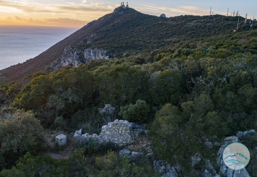
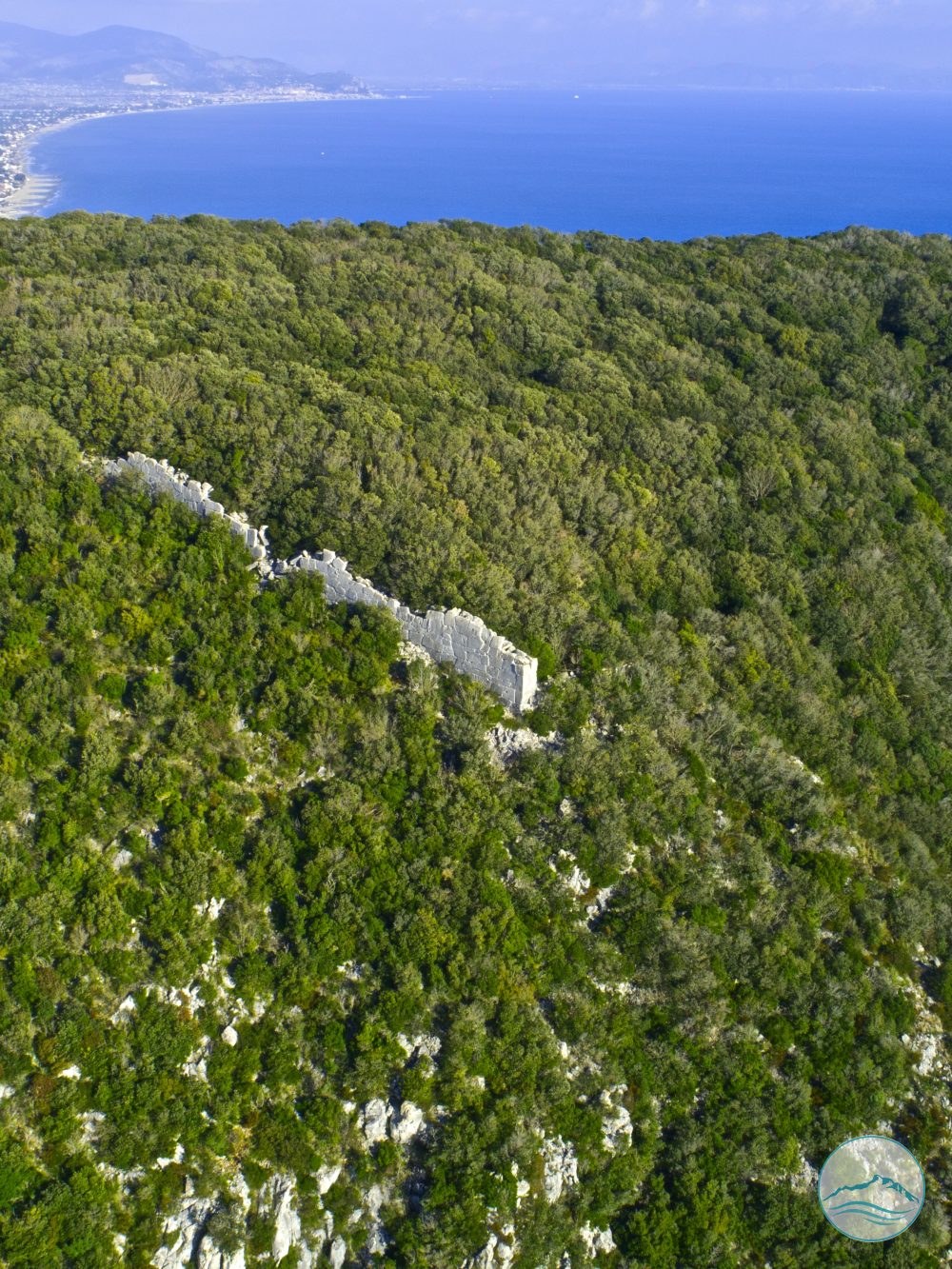
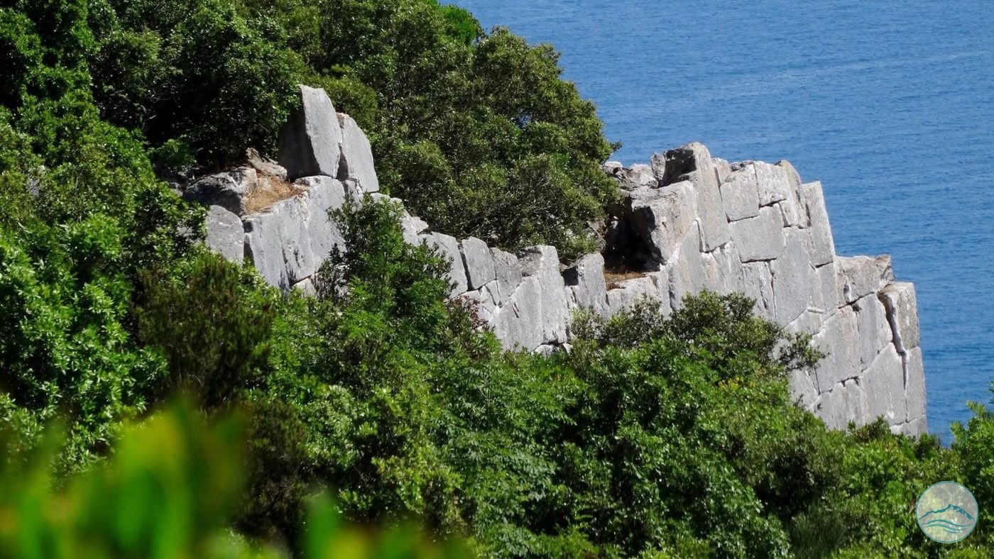
The Acropolis, built in one of the most fascinating and evocative places on the promontory, began as a fortified citadel consisting solely of the marvellous and imposing Polygonal Walls, also called Cyclopean Walls because of their extraordinary origin, romantically wrapped in myth.

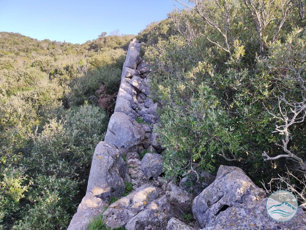
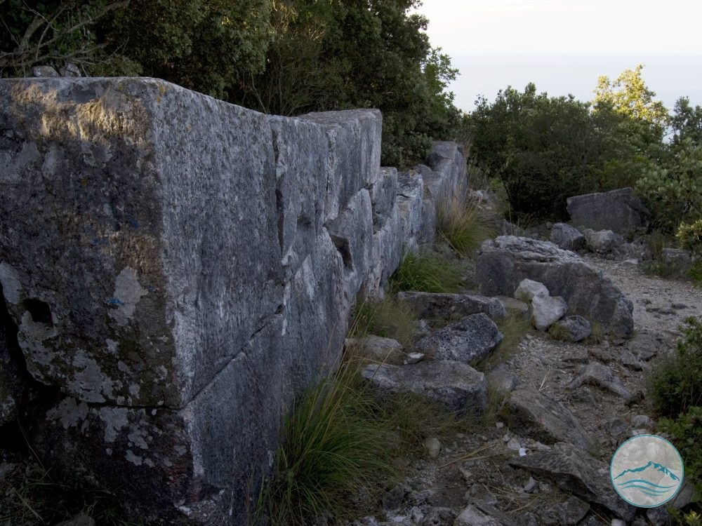
The Walls, running along the steep sides of the Mountain with a perimeter of 678 metres, enclose a trapezoidal area of over 18,000 m², with an average thickness of about 2 metres.

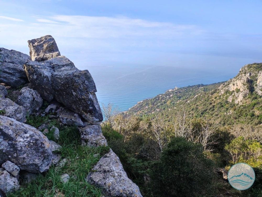
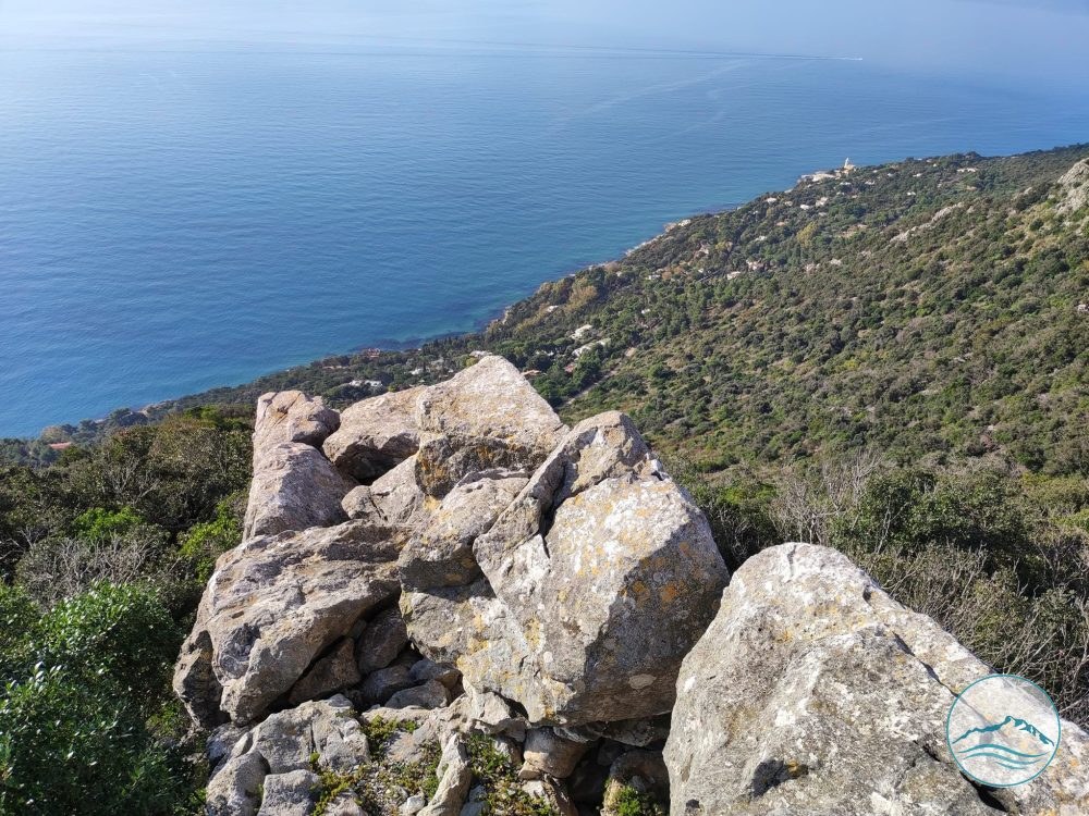
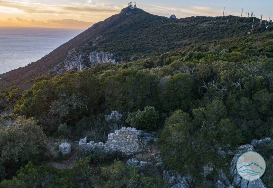
The position of the Acropolis, almost drawn on a natural platform overlooking the Tyrrhenian Sea, was chosen because it offered a privileged view over the Lazio coast both to the south, over the Gulf of Terracina, and to the north, towards the Pontine Islands and Anzio. This was one of the reasons why the city of Circeii was strategically important in southern Lazio from ancient times.

The main road leading to the Acropolis roughly follows today’s road which, from Piazzale San Francesco near the Historic Centre, climbs through a series of hairpin bends to the northern side of the defensive circuit, the best preserved, originally entering through the North Gate, the main entrance.

Of the North Gate, the two jambs survive, made of well-squared limestone blocks perfectly fitted together. In the lower part of the jambs, the side recesses for the door leaves are still clearly visible. The gate opening was at least 1.32 m wide and the walls here are 2.62 m thick.

On the north-eastern side, the remains of a minor gate or postern have also been found. In ancient fortification walls, the postern was a narrow entrance hidden along the walkways used by the patrolling guards, which could also serve as an emergency exit or entrance during a siege.

It is likely that a second road to the Acropolis led to this gate: climbing the steep slope along today’s Strada del Faro, it joined the south-eastern side of the defensive circuit at the postern.

The Acropolis thus began as a fortified place separate from the city of Circeii below, and its Polygonal Walls are “younger” than those preserved in the Historic Centre, which suggests they were built at the beginning of the 4th century, probably around 393 BC, when the “new” Latin-law colony of Circeii was refounded on the ancient one dating to the end of the 6th century BC, more precisely to the reign of Tarquin the Proud.

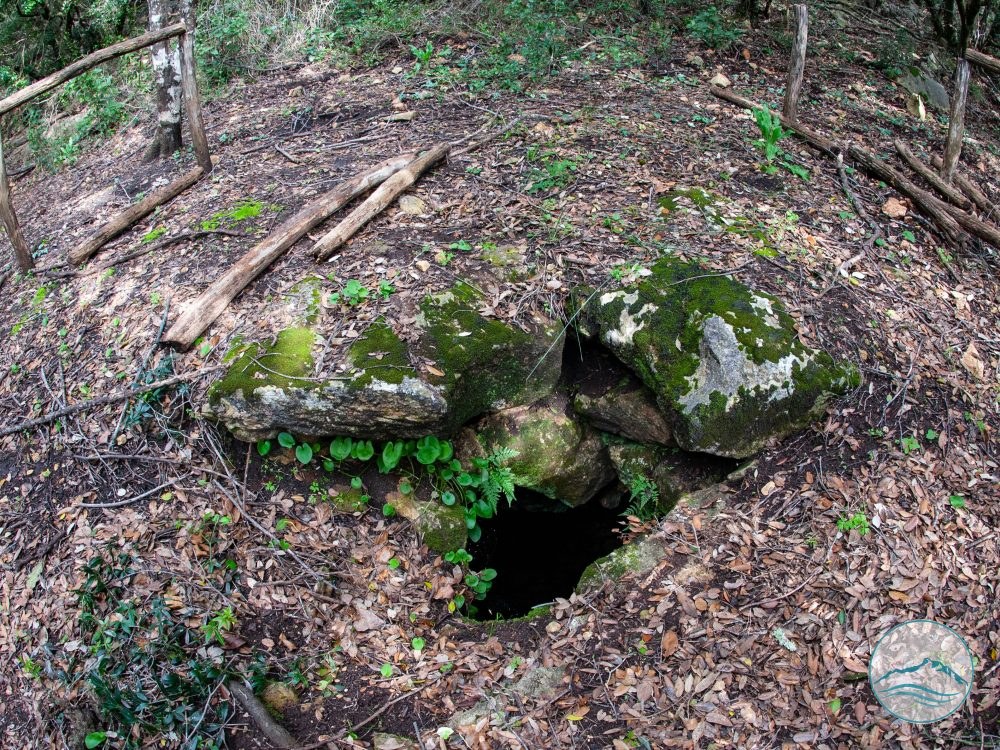
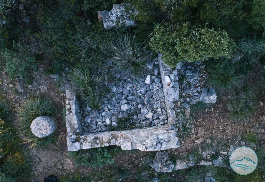
Within the well-defined circuit of walls there are no traces of dwellings, except for a tholos cistern for water supply, which would confirm the exclusively military use of the site. The cistern, buried almost up to the springing of the vault, is made of carefully squared, smooth blocks. The site must have been inhabited since very ancient times, as shown by the discovery, in the fill of the cistern, of a pottery fragment from the Iron Age. In recent years pottery from the same culture and period has also been found at Torre Paola.
Curiosities

Did you know?

A little gem to share with your travel companions.

The technique used by the architects of the Polygonal Walls of the Acropolis is that of the double facing with an intermediate fill of crushed material. In building the walls, the stone blocks were laid differently on the outer and inner faces. On the outside the wall is smooth, the blocks well squared and polished, joined by perfect fittings; on the inside, by contrast, the work is quicker and less careful, and the limestone blocks are shapeless and of various sizes.

This difference in care cannot be explained by two different construction phases; rather, it should be seen as a technical expedient to speed up building without sacrificing the aesthetic value, at least of the visible face, whose formal perfection also made it more resistant to enemy attacks.

Lo scempio delle mura ciclopiche dell’Acropoli – memoria del 27 settembre 1988

Il video di Assunta Tognoni, realizzato nel 2015, documenta i risultati di una delle vicende più dolorose della storia recente del patrimonio archeologico di San Felice Circeo: la distruzione, nel settembre del 1988, di una parte delle mura poligonali dell’Acropoli del Circeo, nell'area delle Crocette.

Il 27 settembre 1988, a seguito dell'allarme lanciato da Franco Martufi e delle verifiche effettuate nei giorni precedenti, oltre trenta soci e cittadini dell'Associazione Il Fortino occuparono il cantiere per impedire la prosecuzione dei lavori effettuati con mezzi meccanici nell'area delle antiche mura. L'intervento delle autorità portò all'interruzione dei lavori e al sequestro del cantiere.

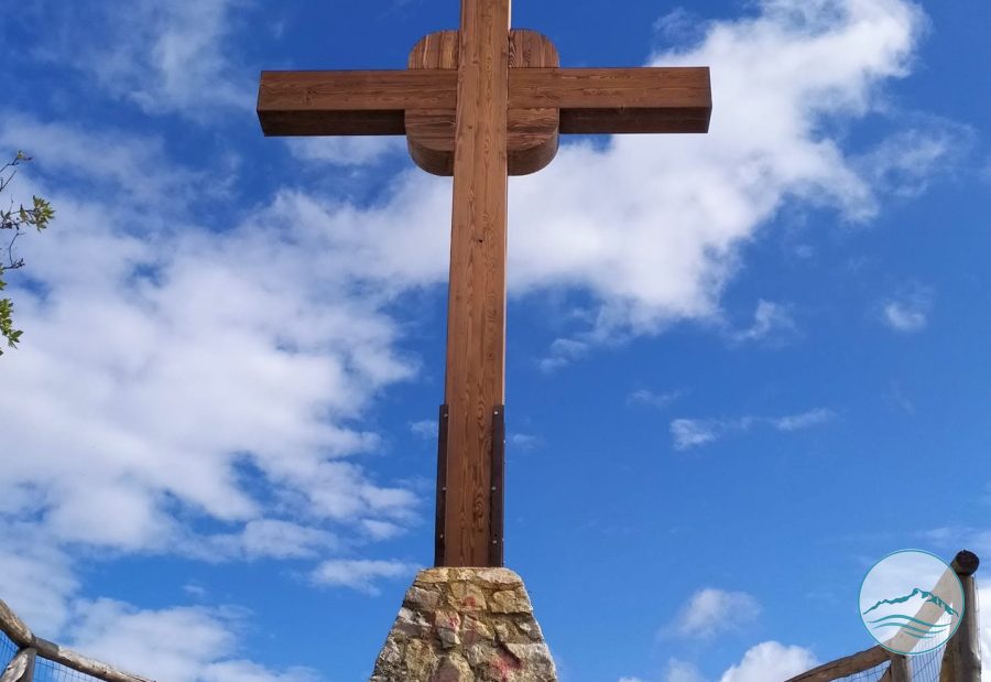
Il danno, tuttavia, era già stato in parte compiuto: un tratto delle antiche mura poligonali, sul lato sinistro salendo verso la Croce, era stato distrutto e numerosi grandi blocchi erano stati rimossi dalla loro posizione originaria.

Le immagini del 2015 consentono di osservare le conseguenze ancora riconoscibili di quell'intervento e costituiscono quindi una testimonianza importante per comprendere quanto avvenuto e per conservarne la memoria.

La vicenda del 1988 rappresenta anche una delle pagine più significative della storia dell'Associazione Il Fortino e del suo impegno per la tutela del patrimonio storico, archeologico e ambientale del Circeo.

Ricordare quello scempio significa soprattutto fare in modo che una cosa simile non possa accadere mai più.

Practical information

Visiting

The Acropolis can be visited along two trails marked within the National Park: a yellow one and a red one. The red trail crosses the Acropolis from north to south and continues outside its Walls towards Torre Fico. The yellow trail winds inside the Walls and takes in the most important points of the site: the North Gate and the north-western stretch of the Walls, the best preserved, the tholos cistern, the postern, and the fine trapezoidal monolith which, set along the north-eastern stretch of the fortification between the north gate and the postern, reproduces the very plan of the Acropolis.

Getting there

From Piazzale San Francesco, the road climbs through a series of hairpin bends to the northern side of the walls. To visit the archaeological area only, you can start from the Crocette car park (about a 10-minute walk).

San Felice Circeo, Provincia di Latina

Visiting tips

Within the Park, the Acropolis can be visited by following two marked trails: the yellow trail, which leads to the main points of interest within the walls, and the red trail, which crosses the area from north to south and continues towards Torre Fico.

Gallery

The So-called Acropolis of Circeo

The So-called Acropolis of Circeo
VICINO AL PORTALE
The So-called Acropolis of Circeo
Wikimedia Commons
The So-called Acropolis of Circeo
Pozzo Tholos
The So-called Acropolis of Circeo
ANGOLO SUD-OVEST

Protected content

The images on this portal are protected by copyright. To request usage rights, write to info@apptron.it.