Development version. Some content, features or translations may be incomplete.
Go back
The Roman colony of Circeii

The Roman colony of Circeii

Period
Late 6th century BC – Imperial age
Municipality
San Felice Circeo
Coordinates
41.2332, 13.0891
The place

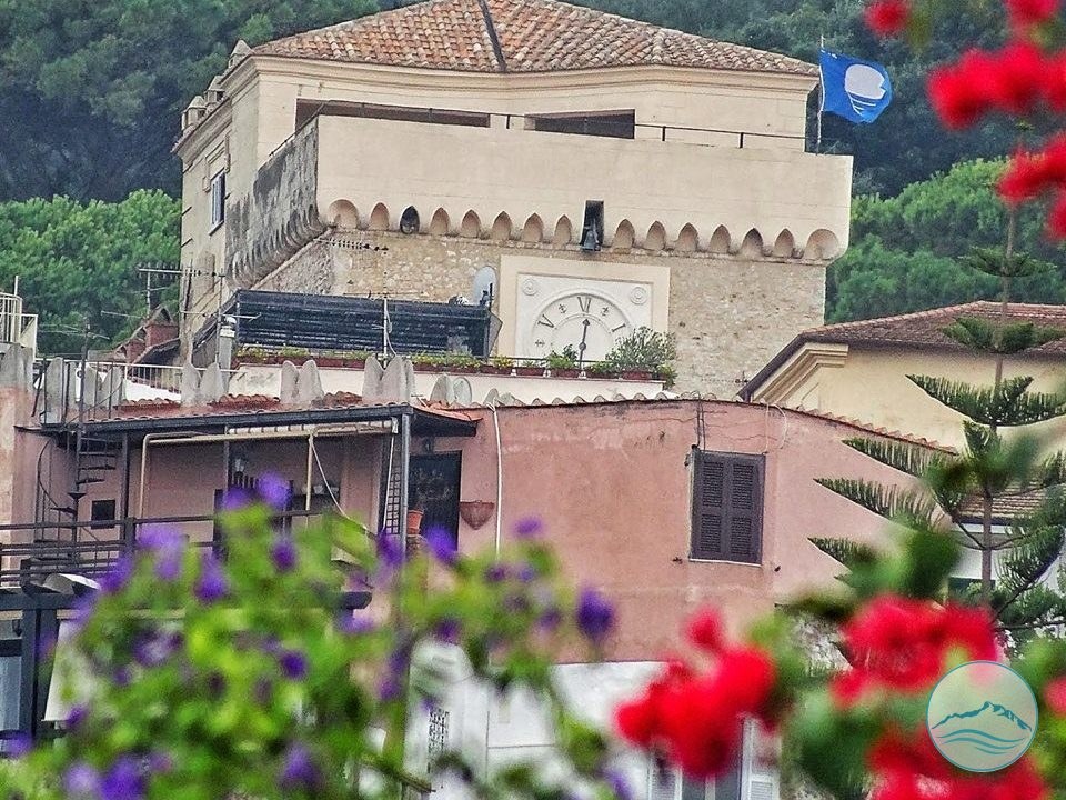
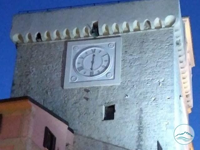
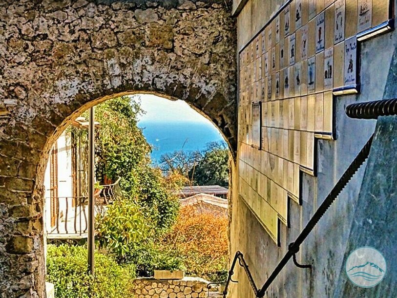
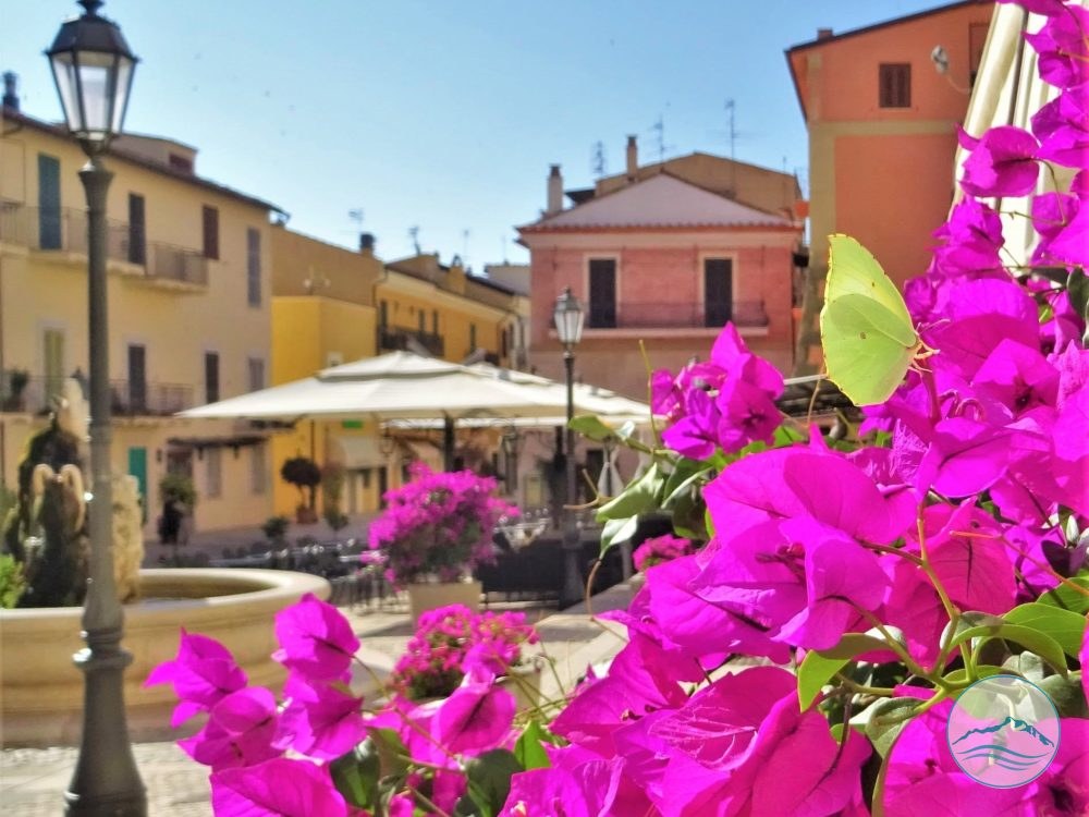
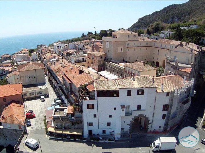
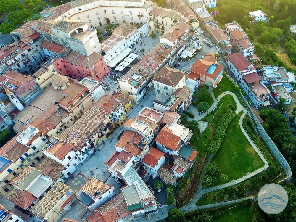
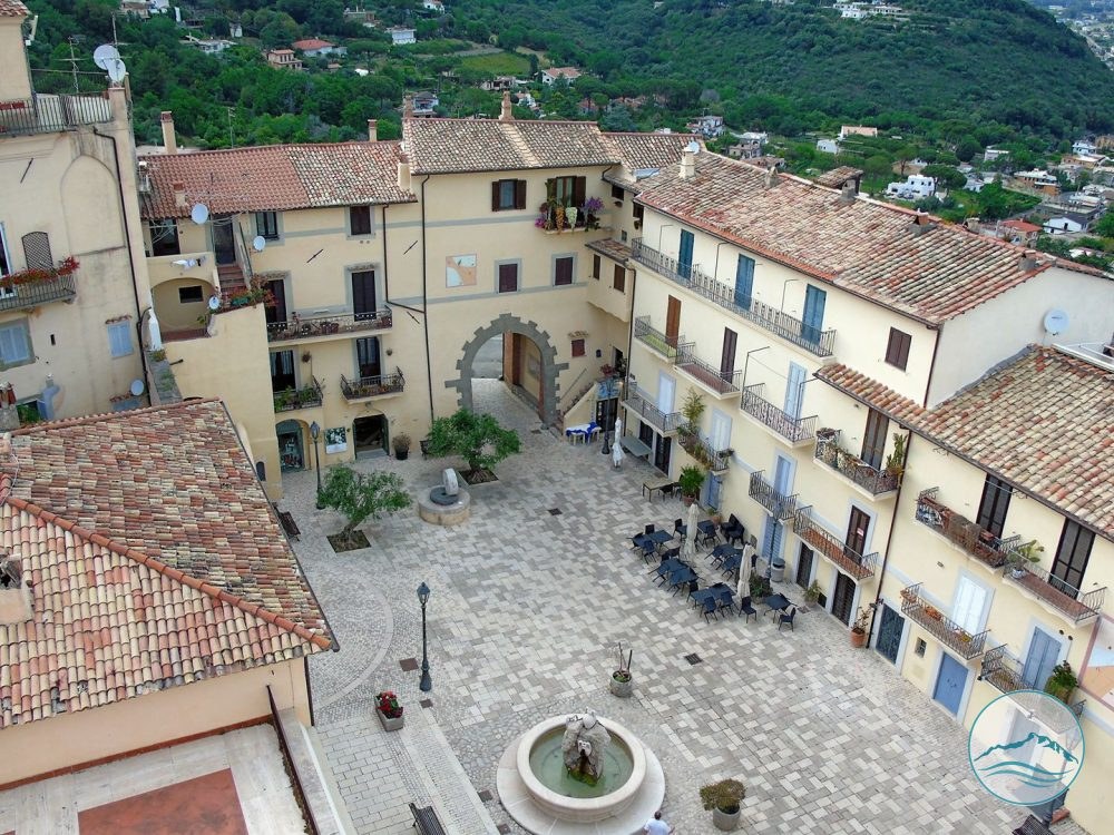
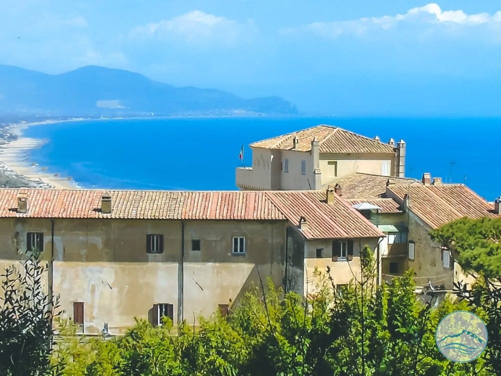
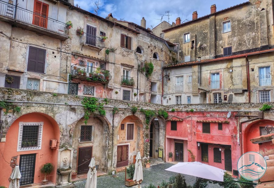
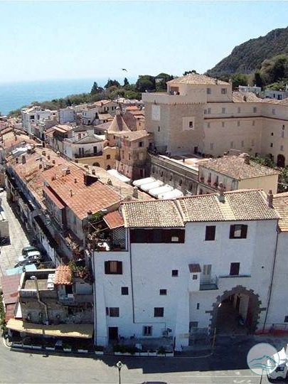
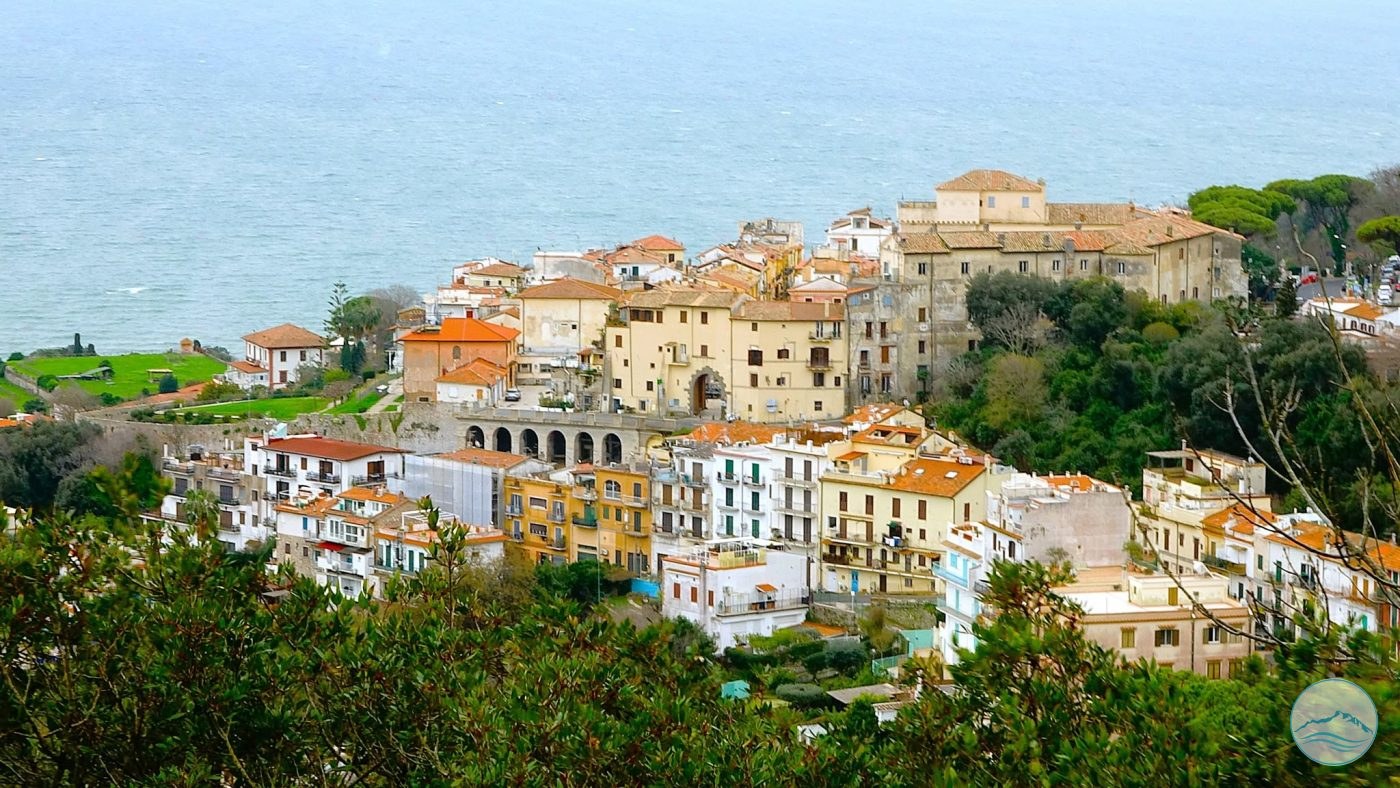
The old town of San Felice Circeo stands on the site of ancient Circeii, a Latin town and later a Roman colony, and still follows its perimeter and layout: walking through its streets you are, in fact, walking inside the ancient city.

According to Livy and Dionysius of Halicarnassus the first colony was founded at the end of the 6th century BC by King Tarquinius Superbus, to control southern Latium and halt the advance of the Volsci: the promontory was a natural lookout over the Tyrrhenian Sea, a stronghold by land and sea. The colony soon fell to the Volsci – tradition links its loss to the war of Coriolanus (491–488 BC) – and in 393 BC, as Diodorus Siculus reports, it was refounded as a Latin colony. In the following centuries Circeii rebelled against Rome several times; during the Second Punic War it was one of the twelve Latin colonies that in 209 BC declared themselves unable to provide any more men or resources. After the Social War, in the 1st century BC, it became a Roman municipium and the area filled with villas: the former triumvir Marcus Aemilius Lepidus spent his exile here.

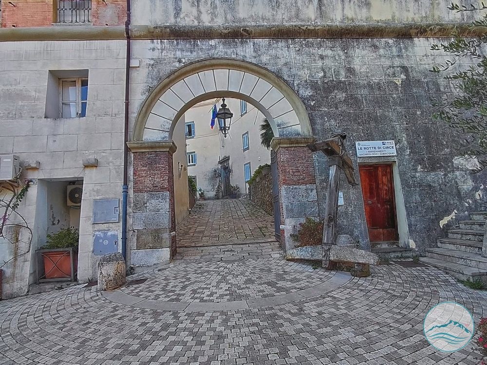
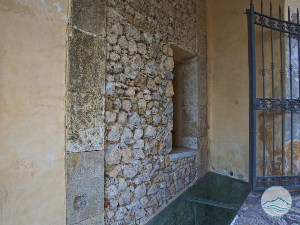
What remains of the ancient city is above all its urban layout and its walls. The town was rectangular and crossed by a main north–south axis, the decumanus, now followed by Corso Vittorio Emanuele; the lanes crossing it correspond to the cardines and still form a regular grid. The “first style” polygonal walls, made of large roughly dressed limestone blocks laid without mortar, survive mainly along the south-eastern side, in Via Gino Rossi, where medieval walls and then modern houses were built on top of them, as far as the Antica Porta, one of the oldest gateways into the town.

The colony should not be confused with the so-called acropolis, the more regular polygonal-walled enclosure higher up on the mountain, near the Crocette: a military outpost separate from the town, generally dated to the early 4th century BC. An ancient road linked the two places, and its route can still be recognised along the Ceraselle path.

With the end of the Empire the town declined; in the Middle Ages the Castrum Sancti Felicis, the fortified village from which today’s San Felice Circeo derives, grew up on the site of the Roman city.
Curiosities

Did you know?

A little gem to share with your travel companions.

Film Umanità del 1946

Certo. Lo formulerei così, mantenendo sia il nome con cui il relitto era conosciuto localmente sia l'identificazione della nave:

Il video è tratto da Umanità (1946), film diretto da Jack Salvatori e ambientato nel difficile periodo del dopoguerra italiano.

I primi 17 minuti del film furono girati a San Felice Circeo, in particolare nel centro storico, e costituiscono oggi una preziosa testimonianza cinematografica del paese nell'immediato dopoguerra.

Le sequenze iniziali rievocano l'arrivo delle forze tedesche in paese nel periodo precedente allo sbarco alleato di Anzio e Nettuno. Alle riprese parteciparono come comparse numerosi abitanti di San Felice Circeo e, tra questi, è possibile riconoscere anche alcuni noti personaggi del paese.

Nelle prime sequenze panoramiche, nelle quali vengono inquadrati prima la pianura e poi il mare, è inoltre ben visibile al largo delle spiagge di Levante, nella zona di Torre Olevola, il relitto che i sanfeliciani conoscevano semplicemente come “Liberty”. Si trattava della Isaac Shelby, una Liberty Ship americana, naufragata davanti alla costa del Circeo il 6 gennaio 1945, dopo essere stata gravemente danneggiata da una mina nelle acque di Ponza il giorno precedente.

Quando Umanità fu girato, nel 1946, il naufragio risaliva quindi ad appena un anno prima e il relitto costituiva ancora una presenza evidente nel paesaggio costiero.

Al di là della vicenda cinematografica, queste immagini rappresentano una straordinaria testimonianza storica di San Felice Circeo: mostrano il centro storico, la pianura, la costa e i suoi abitanti così come apparivano ottant'anni fa, conservando anche tracce ancora visibili degli eventi della guerra.

Fatelo vedere anche ai più piccoli: se per gli adulti è emozionante riconoscere luoghi e persone del paese nelle immagini del 1946, per le nuove generazioni può essere un'occasione per vedere con i propri occhi com'era San Felice Circeo al tempo dei loro nonni e bisnonni.

Practical information

Visiting

The site coincides with the old town, which can be freely explored on foot.

Gallery

The Roman colony of Circeii

The Roman colony of Circeii
Antica porta Chiesa San Felice
The Roman colony of Circeii
Wikimedia Commons
The Roman colony of Circeii
i guardiani del tempio
The Roman colony of Circeii
Wikimedia Commons
The Roman colony of Circeii

Protected content

The images on this portal are protected by copyright. To request usage rights, write to info@apptron.it.