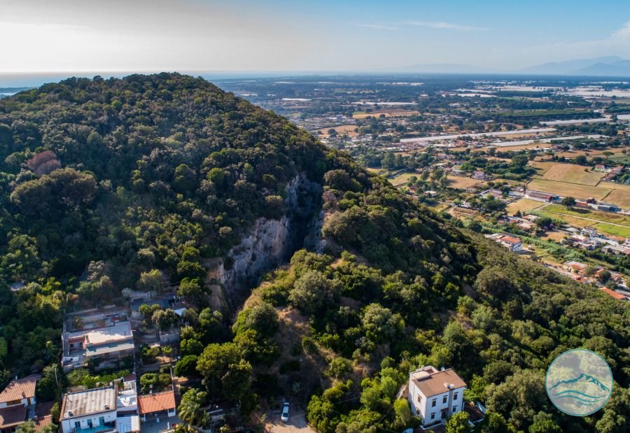
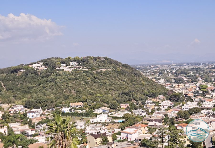
Artificial canal of Roman date that linked the south-eastern side of Lake Paola (today Lake Sabaudia) to the Tyrrhenian Sea, crossing the plain at the foot of the Circeo promontory to avoid the dangerous sea route around it. Historical tradition links it to Nero's grand and never-completed project for a 160-mile navigable canal between Ostia and Lake Averno, recorded by Tacitus and Suetonius as one of the emperor's most ambitious — and unsuccessful — undertakings. Traces of the canal are still visible between Lake Caprolace and Lake Paola, and it is today crossed by one of the Circeo National Park's nature trails.
- Municipality
- San Felice Circeo · Sabaudia
- Coordinates
- 41.2454, 13.0820
Practical information
Visiting
Accessible if you know the exact location, preferably with a guide.
Via campo La Mola
Nearby
Other places just a few minutes away.
Quarries
Cava del Brecciaro
At the foot of the northern side of the promontory lies the historic Cava del Brecciaro, a quarry for the stone and gravel also used in the major works of the Agro P...
Quarries
Guardia Orlando Alabaster Quarry on Via XXIV Maggio
We are in the saddle between Monticchio hill and Guardia Orlando hill. The Etruscans and Romans already knew the qualities of a precious rock, alabaster, and came to...
Archaeology
Archaic Sanctuary of Monticchio
There were several ancient sanctuaries on the Circeo promontory dedicated to different cults, some of them frequented for a long time. On the Monticchio hill, on the...
Forts
Monticchio Fort
Small fort at Monticchio, on the slopes of the Circeo promontory, in the same area as the remains of the Archaic temple of the same name and one of the historic alab...