Development version. Some content, features or translations may be incomplete.
Go back
Puntarossa Rocks or La Batteria

Puntarossa Rocks or La Batteria

Municipality
San Felice Circeo
Coordinates
41.2262, 13.0489
The place

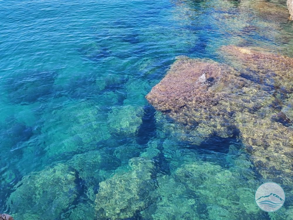
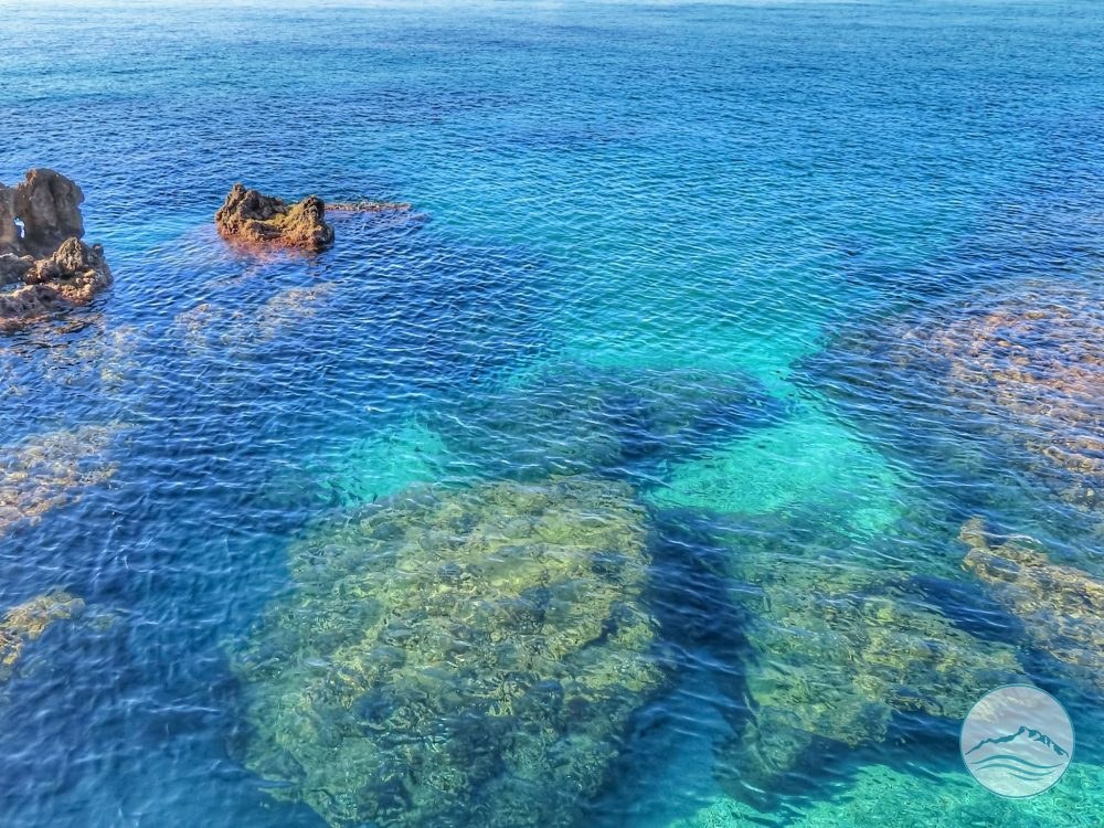
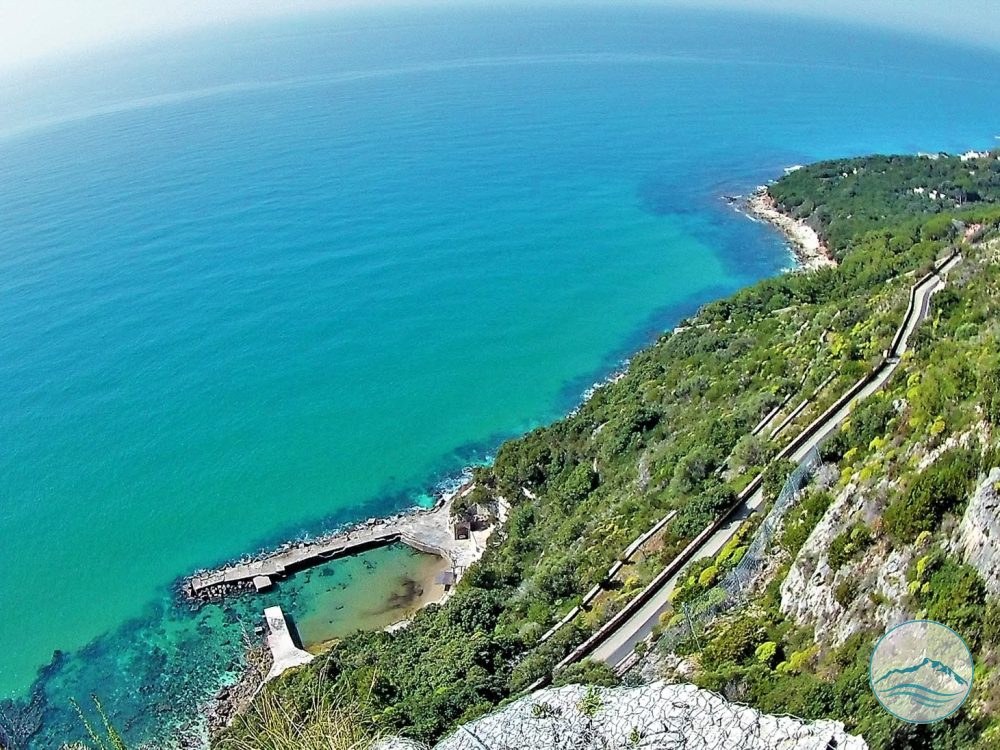
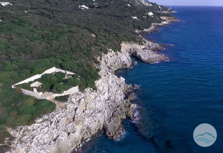
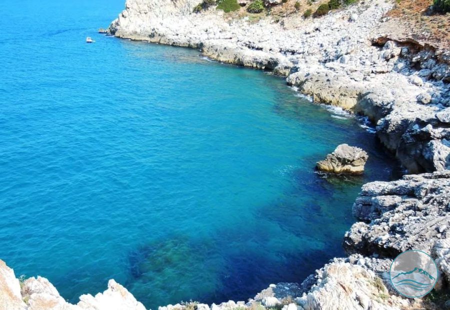
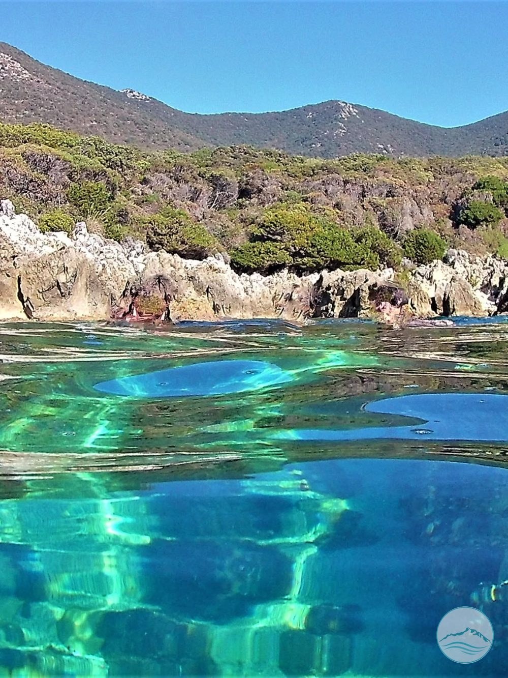
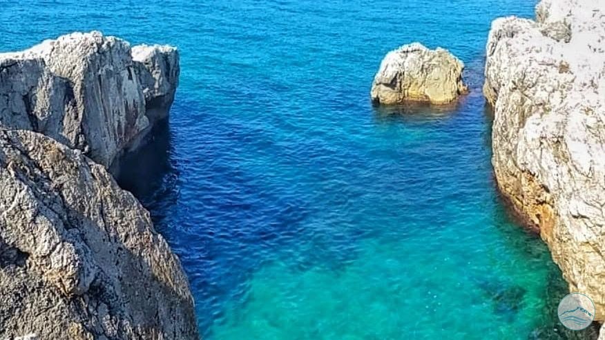
This is an area of exceptional value within the protected landscape of the Parco Nazionale del Circeo (Circeo National Park), and one of the area’s most precious places. It stands out not only for its sea but also for its natural and historical interest, thanks to the Napoleonic fort known as “La Batteria”.

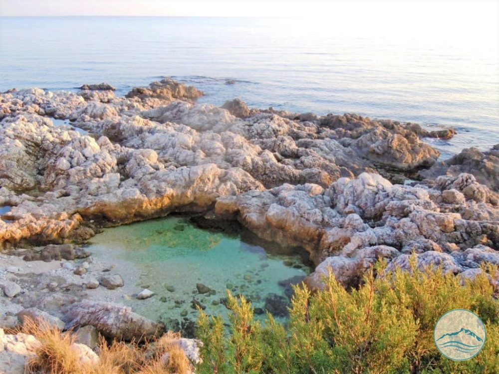
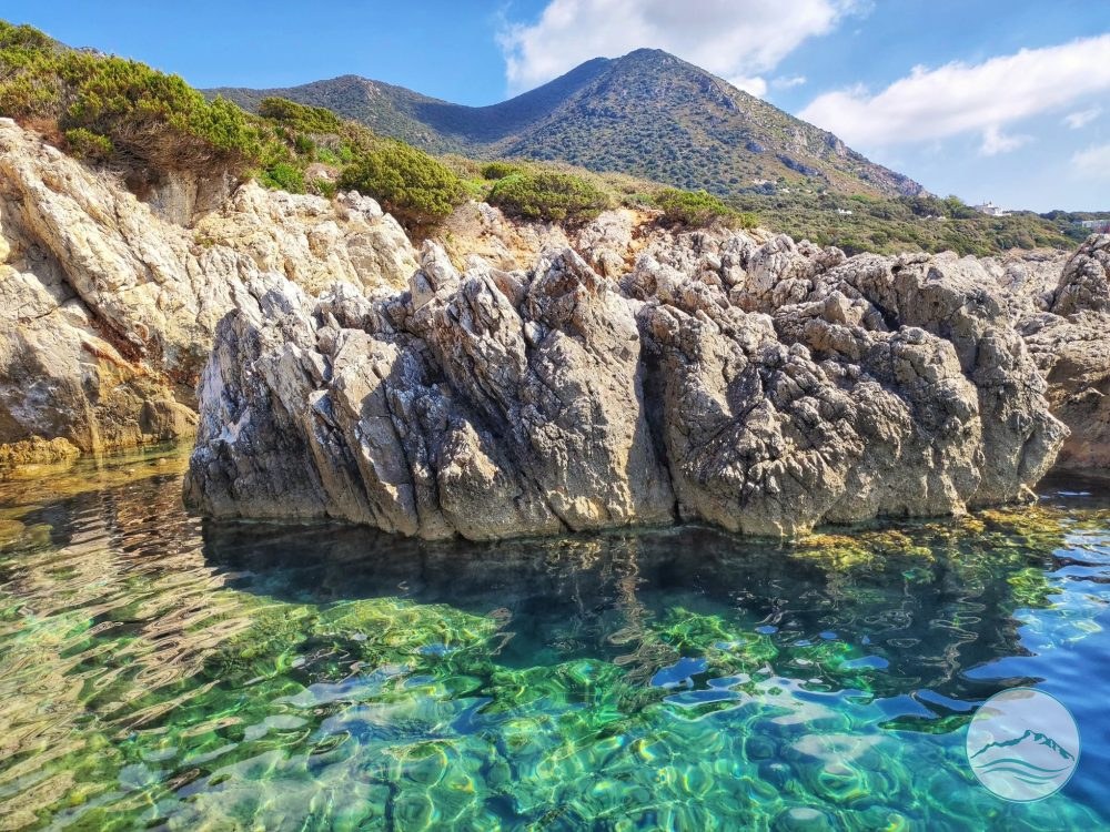
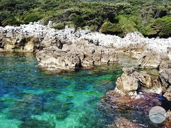
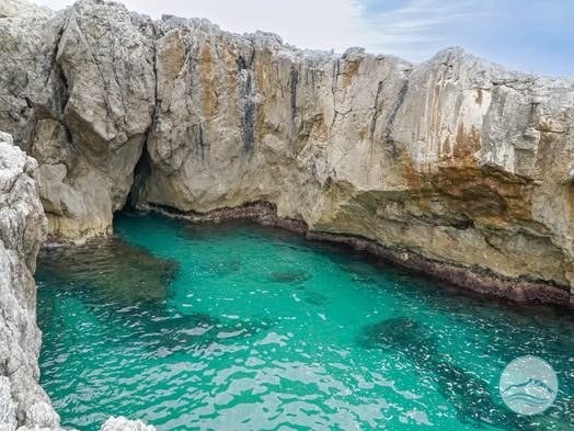
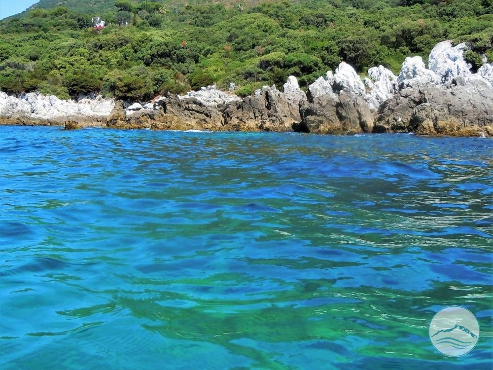
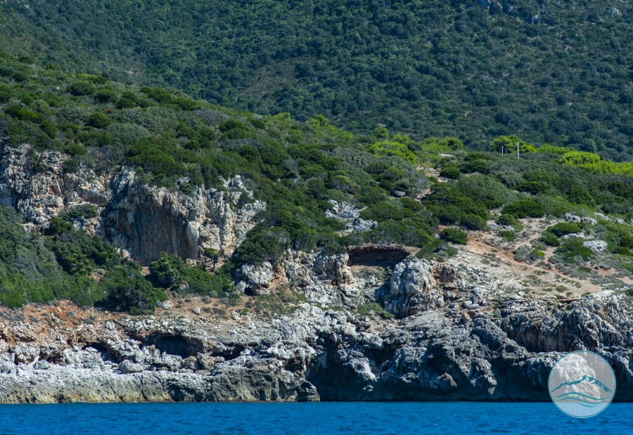
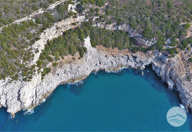
Here the beauty of the rocky shore meets the green of junipers and Mediterranean scrub, which grows almost down to the water’s edge. The strip of woodland behind the rocks is the «Parco della Batteria».

In 1956 the Aguet heirs, who owned the land, placed it under a registered restriction: a strip about 400 metres long and 40 metres deep, totalling 4 hectares, 17 ares and 80 centiares of coppice woodland overlooking the state-owned rocky shore. No building of any kind is allowed on this strip, and it must remain freely accessible not only to the owners of the local villas but to the general public and to tourists; within it lie the ruins of the Batteria Moresca.

The state-owned rocky shore runs for about 4 kilometres, from Punta Rossa to Torre Paola, and is the long stretch of the promontory’s rocky coastline that can still be reached freely by land, via the municipal road known as the Strada delle Batterie.

Along the shore you’ll find some unique and distinctive spots:

  • Casette Verdi;

  • Piscine naturali (natural pools);

  • Cala dei Tuffi;

  • Tuffi;

  • Cava di Alabastro (the Alabaster Quarry).
Curiosities

Did you know?

A little gem to share with your travel companions.

Indisputable historical documents from 1845, kept in the State Archives of Rome, clearly show the route of the “STRADA delle TORRI” (Road of the Towers), so called because it linked the defensive posts – the military batteries also scattered along the rocky coast of the promontory – as far as the Batteria Moresca, today our FORTINO DELLA BATTERIA.

The route of today’s Strada Comunale delle Batterie – whose name is no coincidence – follows the historic path which, starting from the town, joined like “the thread of a necklace” all the defensive outposts, built as early as the Middle Ages and kept in use until the Unification of Italy.

Practical information

Visiting

Access is from Via delle Batterie. After the gate at no. 39, continue for about 200 metres and take the concrete slope down to the historic lane, once called Via delle Torri or Strada delle Batterie. It was originally the road used by the French soldiers who guarded and garrisoned the towers.

From this path, which runs beneath the Mediterranean scrub, you can reach the places mentioned and continue to the Fort.

In summer, because of the fire risk, a municipal order bans cars from parking and driving here; two-wheeled vehicles are exempt.

We recommend the shuttle bus from the historic centre to the gate at no. 39 Via delle Batterie. In summer, check the regulations in force before you go.

Getting there

From via delle Batterie: after the gate at no. 39, after about 200 metres take the concrete descent leading to the historic track under the Mediterranean scrub. In summer the ordinance banning parking and car traffic applies (see Scogliera della Cava di Alabastro): the shuttle from the historic centre is recommended.

Via delle Batterie

Gallery

Puntarossa Rocks or La Batteria

Puntarossa Rocks or La Batteria
Wikimedia Commons
Puntarossa Rocks or La Batteria
Wikimedia Commons
Puntarossa Rocks or La Batteria
Wikimedia Commons
Puntarossa Rocks or La Batteria
Wikimedia Commons
Puntarossa Rocks or La Batteria

Protected content

The images on this portal are protected by copyright. To request usage rights, write to info@apptron.it.